


7,8 km | 12,4 km-effort

Benutzer


Kostenlosegpshiking-Anwendung
 SityTrail
IGN / Geografische Institute
SityTrail World
Die Welt öffnet sich für Sie
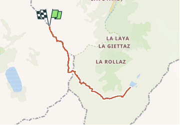
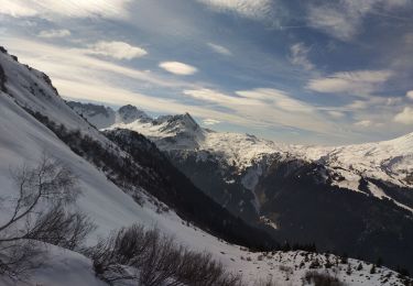
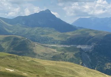
Tour Wandern von 16,9 km verfügbar auf Auvergne-Rhone-Alpen, Hochsavoyen, Les Contamines-Montjoie. Diese Tour wird von fafa74 vorgeschlagen.
peu de difficultés (sauf peut-être par météo très humide) mais exigeante physiquement.


Wandern
Skiwanderen
Skiwanderen
Skiwanderen
Skiwanderen
Skiwanderen
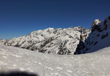
Skiwanderen
Wandern
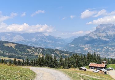
Wandern